Countywide, about 17.5% of rights-of-way are covered by existing tree canopy. The degree of tree canopy within any given right of way is determined by a number of factors:
- Right-of-way width varies considerably, especially outside of the roadway pavement. Some width may be consumed by wide pavement, while other boulevard-style rights-of-way may have relatively large tree lawns and/or medians.
- Narrower rights-of-way may have tree canopy covering the entire width, as large tree lawn trees extend over the roadway. Wider avenues would not likely support such a full canopy.
As a result of these and other factors, potential planting area will vary widely between rights-of-ways. Countywide, 23.5% of city rights-of-way are covered by vegetated areas that could accommodate additional tree canopy. The potential tree canopy is likely to be underestimated, in that large new canopy could extend well over the street pavement.
Tree canopy metrics within rights-of-way by community

Despite differences among right-of-way types, patterns can be seen in comparing similar right-of-way types, particularly in residential areas.
Figures
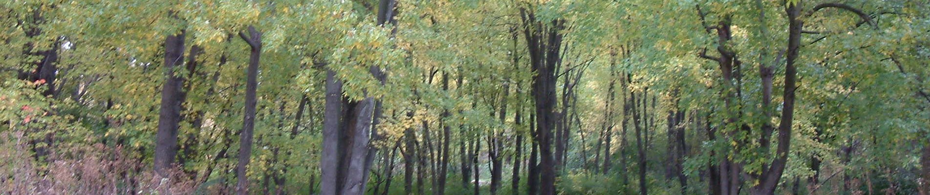
Sample of existing tree canopy over rights-of-way

Sample of potential tree canopy over rights-of-way

For downloadable spreadsheets and GIS data, see the Downloads page.
For an interactive version, explore the Land Cover/Tree Canopy layers in our Greenprint Viewer.
