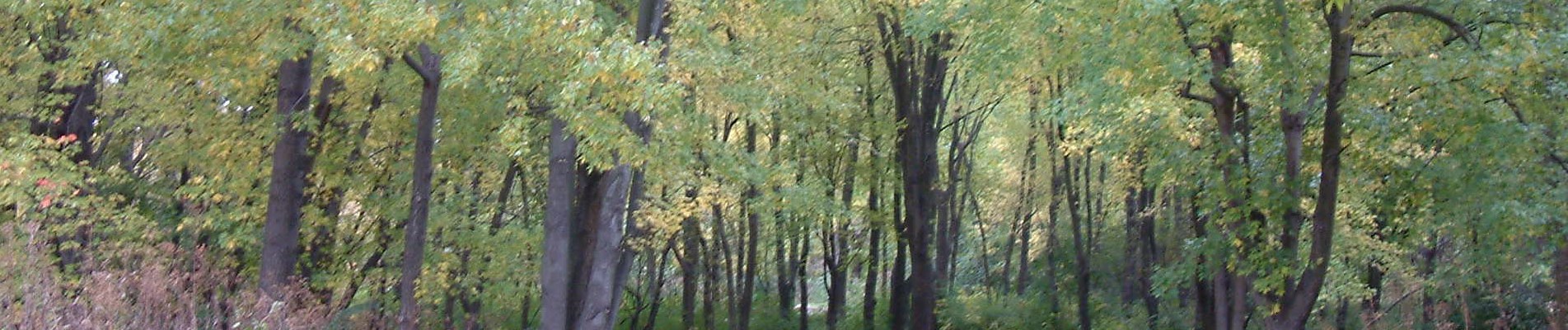
- In its Watershed Book, the Cuyahoga River Restoration agency identifies several Key Benefits of Preserving and Expanding Forest Cover:
- Roots stabilize soils, while canopy and leaf cover interrupt precipitation to reduce erosion and sedimentation in streams
- Cleans stormwater before releasing into groundwater and streams
- Reduces flooding by absorbing and managing stormwater
- Absorbs airborne pollutants, especially particulates, that would otherwise enter the water system
- Provides wildlife habitat
- Conserves household energy costs
- Increases property values
- The tree canopy metrics, in combination with neighborhood indicators such as poverty and crime, can be used to prioritize neighborhoods for tree planting initiatives. For more information on these approaches, see the US Forest Service’s list of available publications.
- Although this assessment indicates that nearly half of the land in Cuyahoga County could theoretically support tree canopy, planting new trees on much of this land may not be socially desirable or financially feasible (e.g. parking lots). Setting a realistic goal requires a detailed feasibility assessment using the geospatial datasets generated as part of this assessment.
- Cuyahoga County’s residents are the largest steward of the County’s tree canopy and have most of the land to plant trees. Programs that educate residents on tree stewardship and provide incentives for tree planting are crucial if Cuyahoga County is going to sustain its tree canopy in the long term.
- Existing and Possible Tree Canopy metrics have been summarized at detailed geographic levels and integrated into GIS databases, and are particularly useful at the parcel level. Individual parcels, groups of parcels, and classes of parcels can be examined and targeted for tree canopy improvement. Of particular focus should be parcels that have large, contiguous impervious surfaces. These parcels contribute high amounts of runoff, which degrades water quality. The establishment of tree canopy on these parcels will help reduce runoff during periods of peak overland flow. Vacant lands should also be a focus as they present a unique opportunity.
Additional Information
More information on local reforestation efforts and best practices is available from the Cuyahoga River Restoration’s Releaf program site, especially its Watershed Book.
Also, see the Cuyahoga County Greenprint, which includes several layers derived from this study, including land cover and several metrics.
Special thanks to Jarlath O’Neil-Dunn of the University of Vermont Spatial Analysis Lab for their excellent land cover analysis, and for providing templates for the metric graphics and for portions of this report’s narrative content; to Stephen Mather of Cleveland Metroparks for accuracy assessment, web development and analysis; and, to numerous local communities for their participation in quality control.