The 2019 Cuyahoga County Urban Tree Canopy (UTC) Assessment is an update to a countywide study released by the Cuyahoga County Planning Commission in 2013.
Tree Canopy Viewer

Visit the Cuyahoga County Urban Tree Canopy Viewer to explore the tree canopy data in detail.
Executive Summary
The 2013 Report used data measured in 2011 and this 2019 Report uses data measured in 2017. Both studies provide a snapshot of tree canopy for each year measured. The 2019 Report also provides an indication of the canopy change between the two studies.

The 2019 Update indicates that Cuyahoga County tree canopy in 2017, measured at 34.7% of total land area, fell from its 2011 coverage of 37.0%. The net loss of about 6,600 acres of canopy represents a 6.1% decline from 2011. The loss comes despite concerted efforts in many local communities to increase tree canopy. It is important to note there are limitations in the data measurement that prevent some new plantings from being captured fully in the data set, especially those with a diameter of 6 feet or less. Losses are often due to development, natural loss from invasive pests, and other causes such as wind damage and neglect. Slight gains were observed in some areas between the two study periods, primarily due to the outgrowth of existing trees over time, as well as some vertical growth from recent plantings.

Looking closely at the updated data from 2017, slightly more than 100,000 acres of the county were covered by tree canopy. An additional 45.5% (371,000 acres) of the land in Cuyahoga County could theoretically be modified to accommodate tree canopy. Within the “Possible Tree Canopy” category, 15.5% (45,200 acres) of land was classified as “Impervious Possible” and another 33.0% is classified as “Vegetated Possible” (96,000 acres). Vegetated Possible Tree Canopy, or grass and shrubs, is conducive to establishing new tree canopy due to its biodiversity and generally being readily available for tree planting. Establishing tree canopy in areas classified as “Impervious Possible” (pavement), will have a greater impact on water quality and summer temperatures, however will have a higher financial cost to retrofit existing infrastructure.
The data provided for local communities can help them to establish benchmarks and targeted strategies for future tree planting and maintenance plans. The full plan includes high resolution land cover data for every square foot of the County, as well as measures of change for every square foot. As alluded to above, summary measures have been compiled at various geographic levels: Cuyahoga County communities, Cleveland neighborhoods, watersheds, census tracts, and even at the parcel level. Data for all of these areas are available on the downloads page and as map layers in the Cuyahoga County Urban Tree Canopy Viewer. This report is also available as a printable PDF.
The 2019 Cuyahoga County Tree Canopy Assessment Report was paid for with funds provided by Cleveland Neighborhood Progress, the Cuyahoga County Office of Sustainability, Holden Forests & Gardens, Western Reserve Land Conservancy, with substantial in-kind contributions from the Cuyahoga County Planning Commission, Cleveland Metroparks, and the Northeast Ohio Regional Sewer District.
Why Tree Canopy is Important
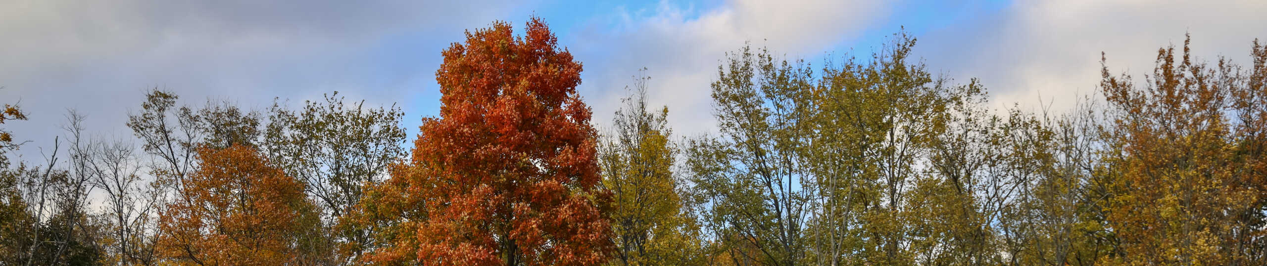
Tree canopy is the layer of leaves, branches, and stems of trees that cover the ground when viewed from above. Tree canopy provides many benefits to society including moderating climate, reducing building energy use and atmospheric carbon dioxide (CO2), improving air and water quality, mitigating rainfall runoff and flooding, enhancing human health and social well-being and lowering noise impacts (Nowak and Dwyer, 2007). It provides wildlife habitat, enhances property values, and has aesthetic impacts to an environment.
Establishing a tree canopy goal is crucial for communities seeking to improve their natural environment and green infrastructure. A tree canopy assessment is the first step in this goal setting process, showing the amount of tree canopy currently present as well as the amount that could theoretically be established.
Key Terms
Tree Canopy: is the layer of leaves, branches, and stems of trees that cover the ground when viewed from above.
Land Cover: Physical features on the earth mapped from aerial or satellite imagery, such as trees, grass, water, and impervious surfaces.
Existing Tree Canopy: The amount of urban tree canopy present when viewed from above using aerial or satellite imagery.
Possible Tree Canopy: Total area theoretically available for establishment of additional tree canopy.
Impervious Possible Tree Canopy: Asphalt or concrete surfaces, excluding roads and buildings, that are theoretically available for the establishment of tree canopy.
Vegetated Possible Tree Canopy: Grass or shrub area that is theoretically available for the establishment of tree canopy.