There are nearly 500,000 individual, non- right-of-way parcels of land in Cuyahoga County, representing 87% of the County’s land area. Tree canopy maintenance is the responsibility of land owners across the spectrum of land uses: residential, commercial, industrial, institutional, etc.

For each of 12 parcel land use classes, Tree Canopy metrics were calculated: as a percentage of land area in the specified land use category; and as a percentage of all land in the county as a whole.
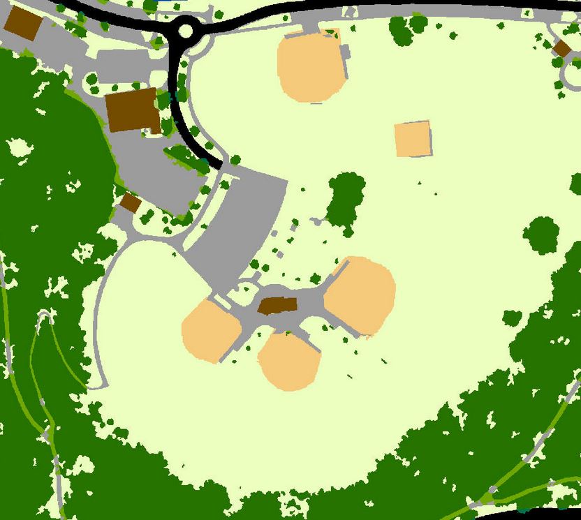
Parks and recreational land, as might be expected, is the use most dominated by tree canopy at 68.5% of its land – far more than any other land use. However, as a share of the County, parks account for only about 14% of all tree canopy.
Occupied residential land is the largest land use type within the county, at 47.5% of all land, and contributes 51.2% of the county’s total tree canopy.
Possible Tree Planting Area is dominated by residential land use, accounting for 44.6% of all possible Tree Planting Area in the County.
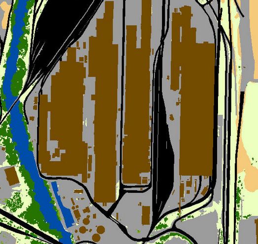
Commercial and industrial land uses provide significant possible planting area, particularly in large lawns and impervious areas. While not impacting overall tree canopy goals to a large degree, parking lots and areas immediately adjacent provide significant opportunity for the establishment of tree canopy. Additional canopy can help reduce stormwater runoff and urban heat effects.
Land Cover Map
Change, 2011-2017
Consistent with findings for all land in the County, non- right-of-way parcels lost 6.2% of their canopy collectively from 2011-2017. The only land use to show a gain was in the relatively small category of Railroad uses, gaining 14.0%. Residential properties, the largest segment in terms of land use area, had losses exceeding the County average, at -7.4%.