Orange Village Wayfinding & Trails Plan
The Orange Village Wayfinding & Trails Plan will develop a comprehensive wayfinding signage plan and trail improvement recommendations to improve connectivity to destinations within and around Orange Village.
Lakewood Public Art Master Plan
The Lakewood Public Art Master Plan documents existing public artwork in Lakewood, identifies art installation and maintenance challenges, and makes recommendations to ensure public art is accessible, engaging, and diverse.
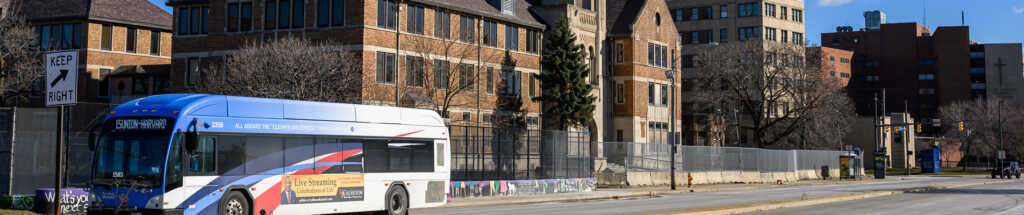
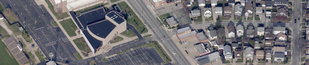
East 22nd Street Current Conditions Assessment
The East 22nd Street Current Conditions Assessment coordinates many concurrent, highly consequential planning efforts by a wide variety of stakeholders within a small area of significance to the City of Cleveland.
Cleveland Heights Gateways & Wayfinding Signage Plan
The Cleveland Heights Gateways & Wayfinding Signage Plan will develop a coordinated strategy for gateways and wayfinding to help residents and visitors navigate the community.
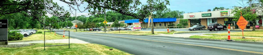
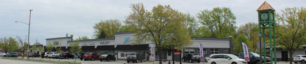
Richmond-Chardon Roads Streetscape & Business Revitalization Plan
The Richmond-Chardon Roads Streetscape & Business Revitalization Plan aims to create a safe, inviting, and engaging atmosphere within the study area in Richmond Heights.
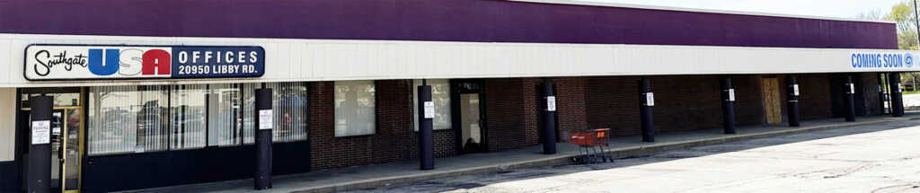
Evolving Southgate Area Redevelopment Plan
The Evolving Southgate Area Redevelopment Plan identifies redevelopment recommendations for the areas in and around Southgate in the City of Maple Heights.
Turney Road Transit-Oriented Development Study
The City of Garfield Heights and County Planning, in coordination with GCRTA, conducted a study along Turney Road to evaluate the corridor's potential and readiness for transit-oriented development.
Lorain Road Business District Revitalization Plan
The Lorain Road Business District Revitalization Plan is a land use and economic development plan for Lorain Road as it travels through Fairview Park.
Brookpark Road Streetscape Improvement Plan
Provides guidance to improve this vital geographic and economic gateway as well as recommendations for safety and transportation, the environmental impact of stormwater management, and visual aesthetics
Center Ridge Corridor Master Plan
The City of Westlake's Center Ridge Corridor Master Plan builds upon the unique history and high-quality assets that exist along this significant six-mile stretch of roadway.
Parma Town Center Strategic Master Plan
The Parma Town Center Strategic Master Plan focused in and around the Shoppes at Parma, encompassing all the amenities and anchor institutions in the immediate area.