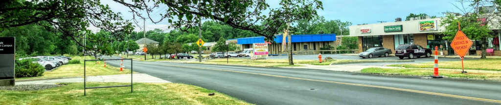
Richmond-Chardon Roads Streetscape & Business Revitalization Plan
The Richmond-Chardon Roads Streetscape & Business Revitalization Plan aims to create a safe, inviting, and engaging atmosphere within the study area in Richmond Heights.
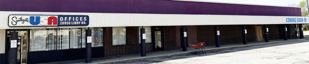
Evolving Southgate Area Redevelopment Plan
The Evolving Southgate Area Redevelopment Plan identifies redevelopment recommendations for the areas in and around Southgate in the City of Maple Heights.
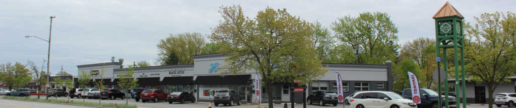
Lorain Road Business District Revitalization Plan
The Lorain Road Business District Revitalization Plan is a land use and economic development plan for Lorain Road as it travels through Fairview Park.
East Cleveland Land Use Strategic Plan
The East Cleveland Land Use Strategic Plan identifies target areas for redevelopment and is intended as a guide for City leaders, residents, business owners, and other stakeholders for development and growth.
First Suburbs Site Profiles
County Planning examined eight potential developments sites whose reuse could have lasting impacts on Cuyahoga County communities.
Aerozone Current Conditions
The Aerozone Alliance is creating the Midwest's newest innovation zone. Drawing on world-class amenities, it is creating the conditions for a thriving live, work, and play district.
Economic Development: Place-Based Framework
Provides an overview of industry-specific job concentrations throughout the County, identifies target areas for investment, and establishes a framework for action.