County Planning has completed plans, studies, and initiatives at community, county, and regional scales. Below, you can explore our portfolio of projects, which demonstrate our professional planning services.

East Cleveland Zoning Code Updates
With the goal of making East Cleveland a more vibrant, connected and resilient city, the City of East Cleveland is working with County Planning to update its zoning and regulatory processes.
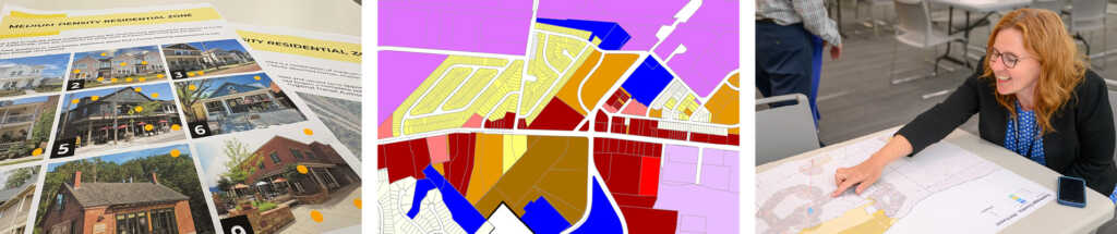
Cuyahoga County Unified Zoning Code
County Planning is developing an opt-in zoning ordinance that modernizes regulations and unlocks development opportunities, while maintaining local administrative authority.
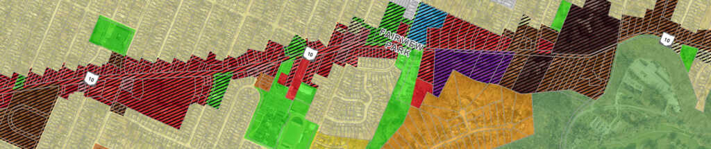
Fairview Park TOD Overlay Zoning Code Update
County Planning has partnered with the City of Fairview Park to create a Transit-Oriented Development (TOD) Overlay Zoning District.
Residential Vacant Lot Analysis
The Residential Vacant Lot Analysis will analyze opportunities for residential construction in Cuyahoga County Suburbs, while tracking progress on infill development in the First Suburbs.
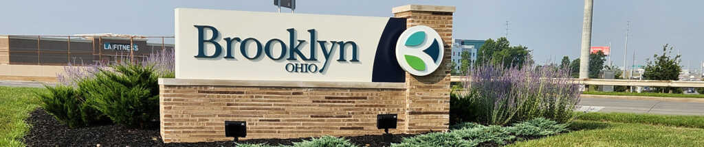
Brooklyn Master Plan Update
Having already and completed many of the recommendations from their 2020 Master Plan, the City of Brooklyn is working with County Planning to put together a strategic plan to identify new recommended actions and continue the City's positive momentum.
Bedford Master Plan
The City of Bedford's new master plan will reflect current community desires, adjust to new market conditions, and create a vision for areas of opportunity.
Orange Village Wayfinding & Trails Plan
The Orange Village Wayfinding & Trails Plan will develop a comprehensive wayfinding signage plan and trail improvement recommendations to improve connectivity to destinations within and around Orange Village.
Lakewood Public Art Master Plan
The Lakewood Public Art Master Plan documents existing public artwork in Lakewood, identifies art installation and maintenance challenges, and makes recommendations to ensure public art is accessible, engaging, and diverse.

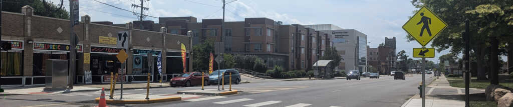
South Euclid MU-TOD Zoning Code Update
County Planning worked with the City of South Euclid to create a Mixed-Use Transit-Oriented Development (MU-TOD) Zoning District to encourage future redevelopment as a dense, walkable, transit-friendly downtown hub.
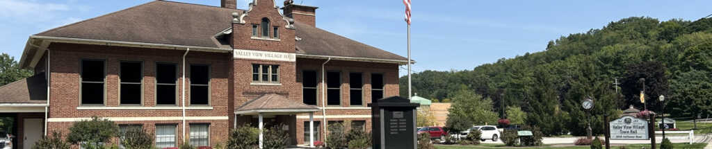
Valley View Master Plan
For the first time in nearly 25 years, the Village of Valley View is undertaking an effort to create a new Master Plan—one that reflects the community's current needs, evolving demographics, and future aspirations.
East 22nd Street Current Conditions Assessment
The East 22nd Street Current Conditions Assessment coordinates many concurrent, highly consequential planning efforts by a wide variety of stakeholders within a small area of significance to the City of Cleveland.
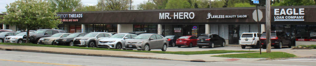
Cuyahoga County Parking Analysis
The Cuyahoga County Parking Analysis provides an overview of parking regulations across 29 local communities and includes a series of best practices to guide communities toward minimizing the adverse impacts parking lots have on development.