The Cuyahoga County Planning Commission Data Commons serves as a central hub for geographic data, maps, and analytical tools that support planning and decision-making throughout Cuyahoga County.
The site provides access to authoritative datasets, applications, and dashboards developed and maintained by County Planning and its partners. It will continue to evolve as more resources are added over time.
The Data Commons is designed to make reliable, consistent information accessible to planners, local governments, researchers, and the public. By organizing resources in one location, the platform promotes transparency, collaboration, and data-driven understanding of community conditions and development patterns.
Explore the tabs:
- Data: Access authoritative datasets covering a range of planning topics, including land use, transportation, housing, environment, and community infrastructure. Each dataset can be viewed interactively or downloaded for analysis in external GIS or planning tools.
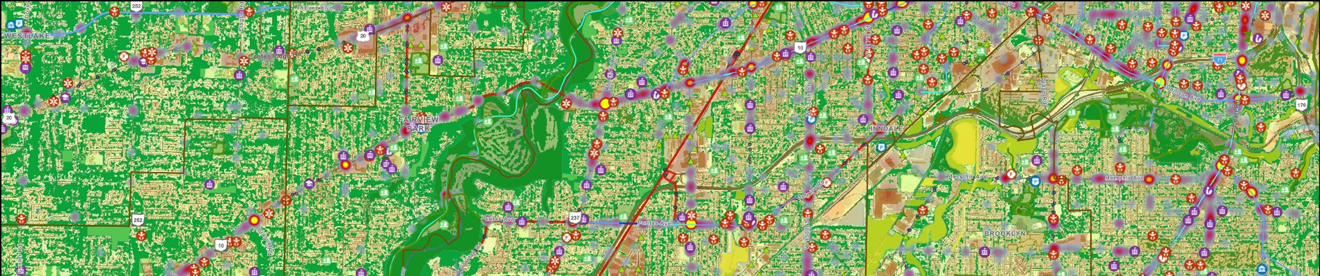
- Apps & Maps: Explore interactive web mapping applications that visualize planning data in context. These tools combine multiple datasets to illustrate key trends, patterns, and spatial relationships across Cuyahoga County.
- Dashboards & Analytics: View dashboards that provide quick visuals and key statistics derived from datasets available in the Data Commons. These interactive displays offer an at-a-glance understanding of data trends and relationships, allowing users to explore planning and community information through clear, visual summaries.
- Create a Map: Build custom maps using datasets published through the Data Commons. This feature enables users to combine multiple data layers to generate maps tailored to specific planning or research needs.
- Resources: Access supporting materials, data standards, documentation, and planning references. These resources provide guidance for consistent data use and ensure alignment with county and regional planning efforts.