These pages describe the Urban Tree Canopy Assessment completed in 2014. For newer information, please visit the 2019 Urban Tree Canopy Assessment Update.
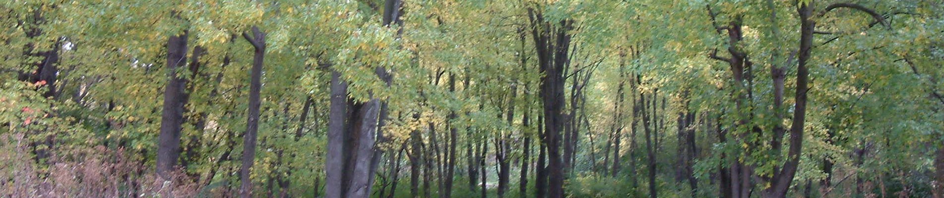
Tree canopy is the layer of leaves, branches, and stems of trees that cover the ground when viewed from above.
Tree canopy provides many benefits to communities: improving water quality, reducing erosion, reducing stormwater runoff, saving energy, lowering city temperatures, reducing air pollution, enhancing property values, providing wildlife habitat, facilitating social and educational opportunities, and providing aesthetic benefits.
Establishing a tree canopy goal is crucial for communities seeking to improve their green infrastructure.
A tree canopy assessment is the first step in this goal-setting process, providing estimates for the amount of tree canopy currently present in a community as well as the amount of tree canopy that could theoretically be established.
How Much Tree Canopy Does Cuyahoga County Have?

- Nearly 110,000 acres or 37.6% of all land in the county is Tree Canopy.
How Much Tree Canopy Could Cuyahoga County Have?

- An additional 44.8% (371,000 acres) of “Possible” tree canopy.
- 29.5% (86,000 acres) is “Vegetated Possible”: existing grass and shrub land that is most conducive to establishing new tree canopy.
- 15.3% (44,500 acres) is “Impervious Possible”: establishing tree canopy on areas classified as Impervious Possible is more difficult, but will have a more direct impact on water quality and summer temperatures.
Where is it?
For more detail, see the various geographic summary pages or the Cuyahoga County Greenprint.
KEY TERMS
Tree Canopy (TC): The layer of leaves, branches, and stems of trees that cover the ground when viewed from above.
Land Cover: Physical features on the earth mapped from aerial or satellite imagery, such as trees, grass, water, and impervious surfaces.
Existing TC: The amount of urban tree canopy present when viewed from above using aerial or satellite imagery.
Possible TC: Total area theoretically available for establishment of additional tree canopy
Impervious Possible TC: Asphalt or concrete surfaces, excluding roads and buildings, that are theoretically available for the establishment of tree canopy.
Vegetated Possible TC: Grass or shrub area that is theoretically available for the establishment of tree canopy.
Non-Plantable Areas: Vegetated areas that have been eliminated from consideration for tree planting, such as athletic fields, agricultural areas, and non-wooded natural areas.